Drones and Historic Preservation
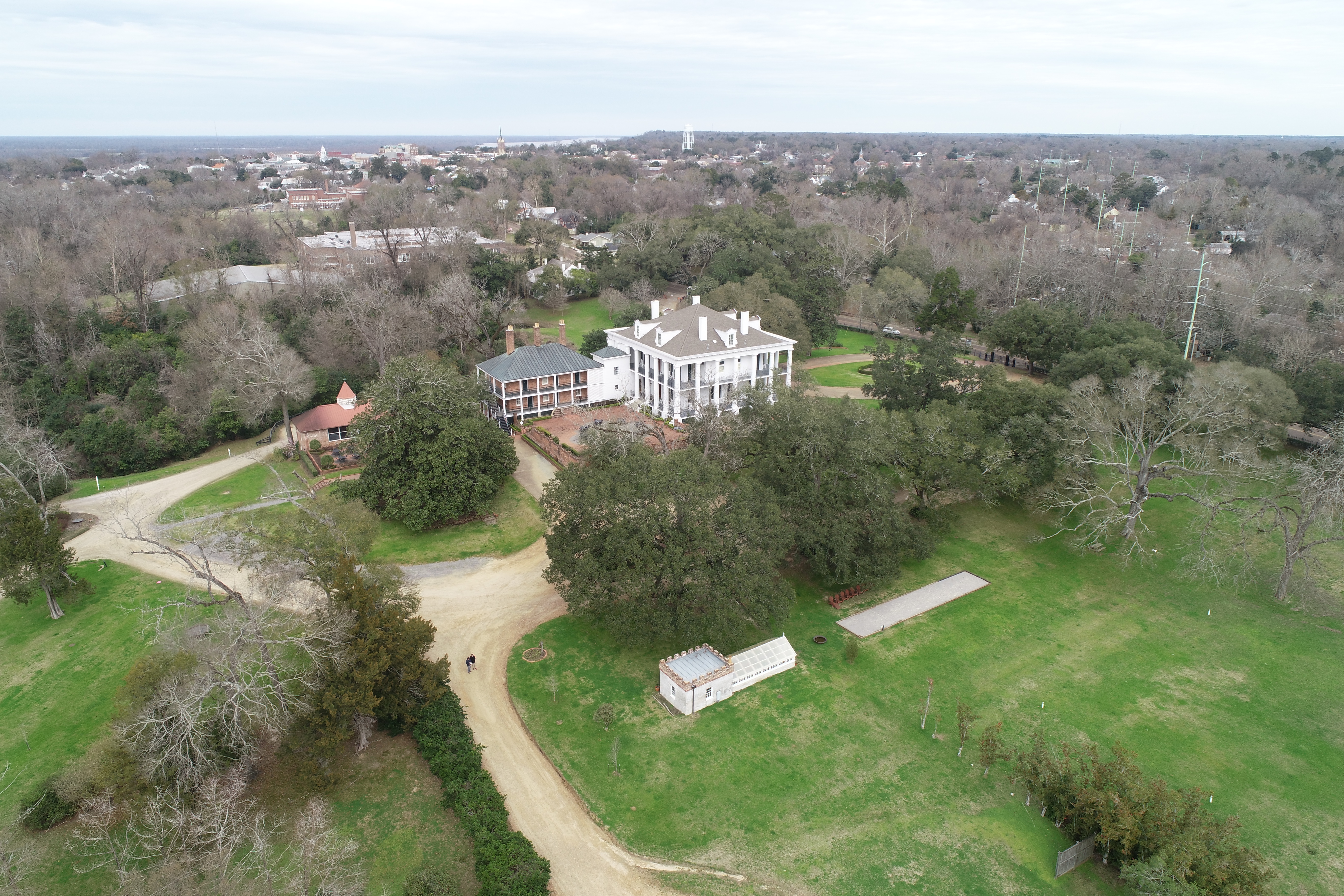
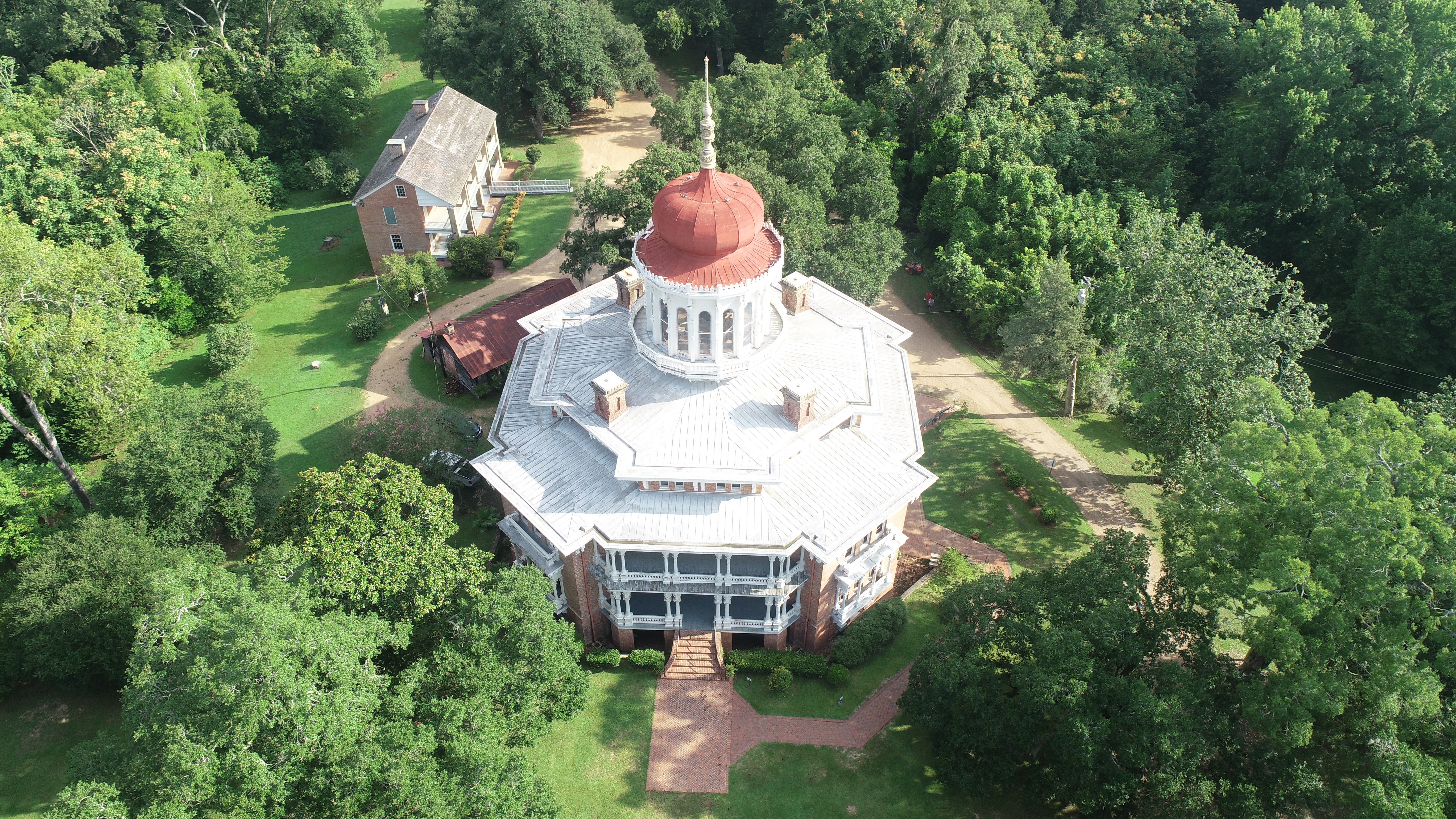
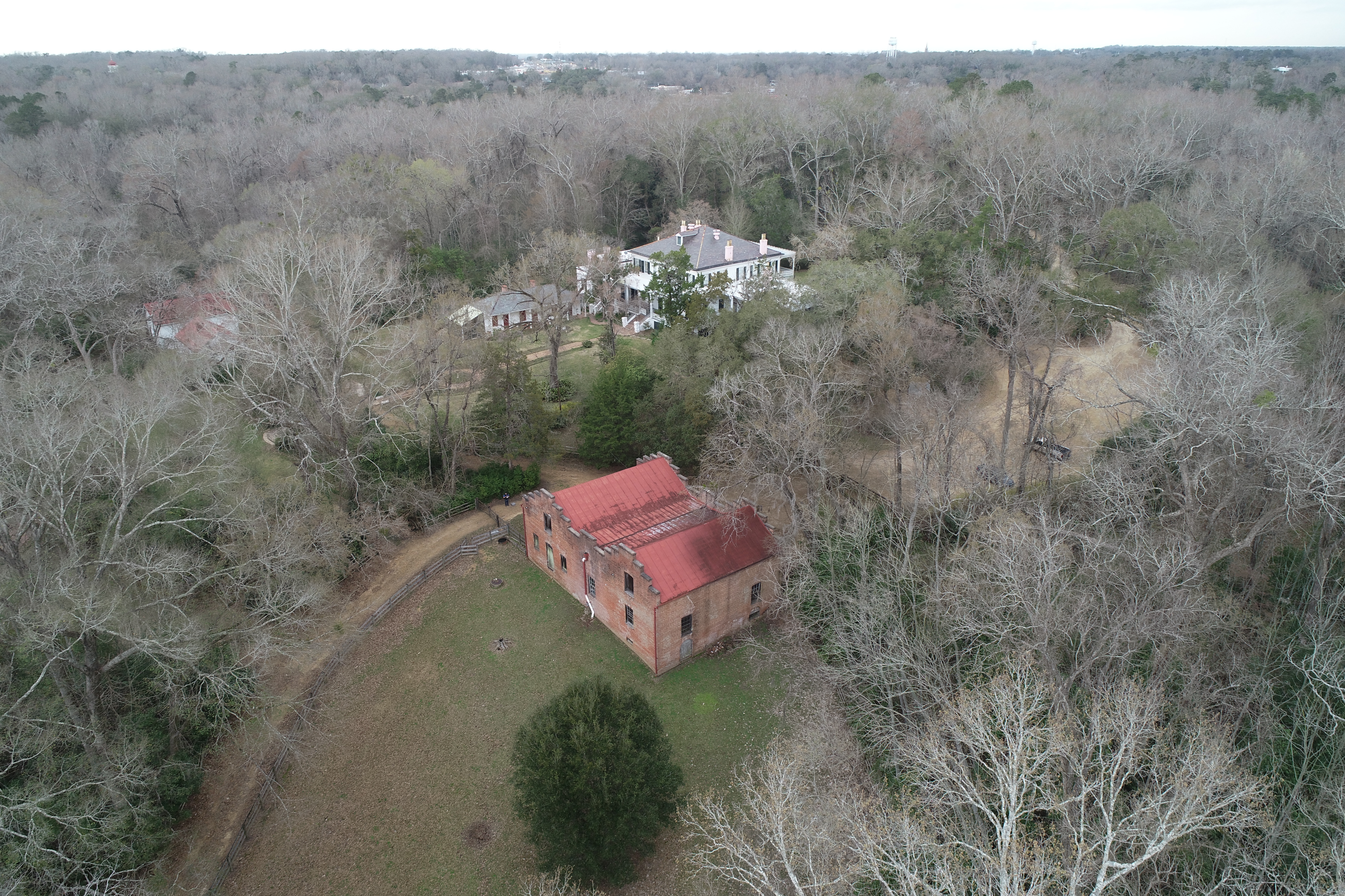
Drones have developed into an important tool for historic preservation projects. The ongoing Natchez Outbuilding Survey is utilizing drone imagery to capture the spatial relationships between the built environment and the landscape. These images offer insight into how dependency structures functioned within the antebellum landscape and how those that used and inhabited them lived. This multi-year survey benefits greatly from its partnership with Professor Brent Fortenberry of Texas A&M University. Dr. Fortenberry uses digital technologies such as drone photography and laser scanning to enhance and complement preservation research. The images below of Dunleith, Longwood, and Elms Court are a sampling of drone photography for the Natchez Outbuilding Study.

Dunleith

Longwood

Elms Court
Headline
Lorem ipsum dolor sit amet, consectetur adipiscing elit, sed do eiusmod tempor incididunt ut labore et dolore magna aliqua. Ut enim ad minim veniam, quis nostrud exercitation ullamco laboris nisi ut aliquip ex ea commodo consequat. Duis aute irure dolor in reprehenderit in voluptate velit esse cillum dolore eu fugiat nulla pariatur. Excepteur sint occaecat cupidatat non proident, sunt in culpa qui officia deserunt mollit anim id est laborum.